

Best Places to Hike in Sri Lanka: A Hiker’s Guide to Paradise
Are you an adventure seeker eager to explore breathtaking trails in a tropical wonderland? Sri Lanka, with its rugged mountains, lush rainforests, and coastal paths, is a hiker’s dream, offering some of the best places to hike in Sri Lanka. From sacred peaks to…
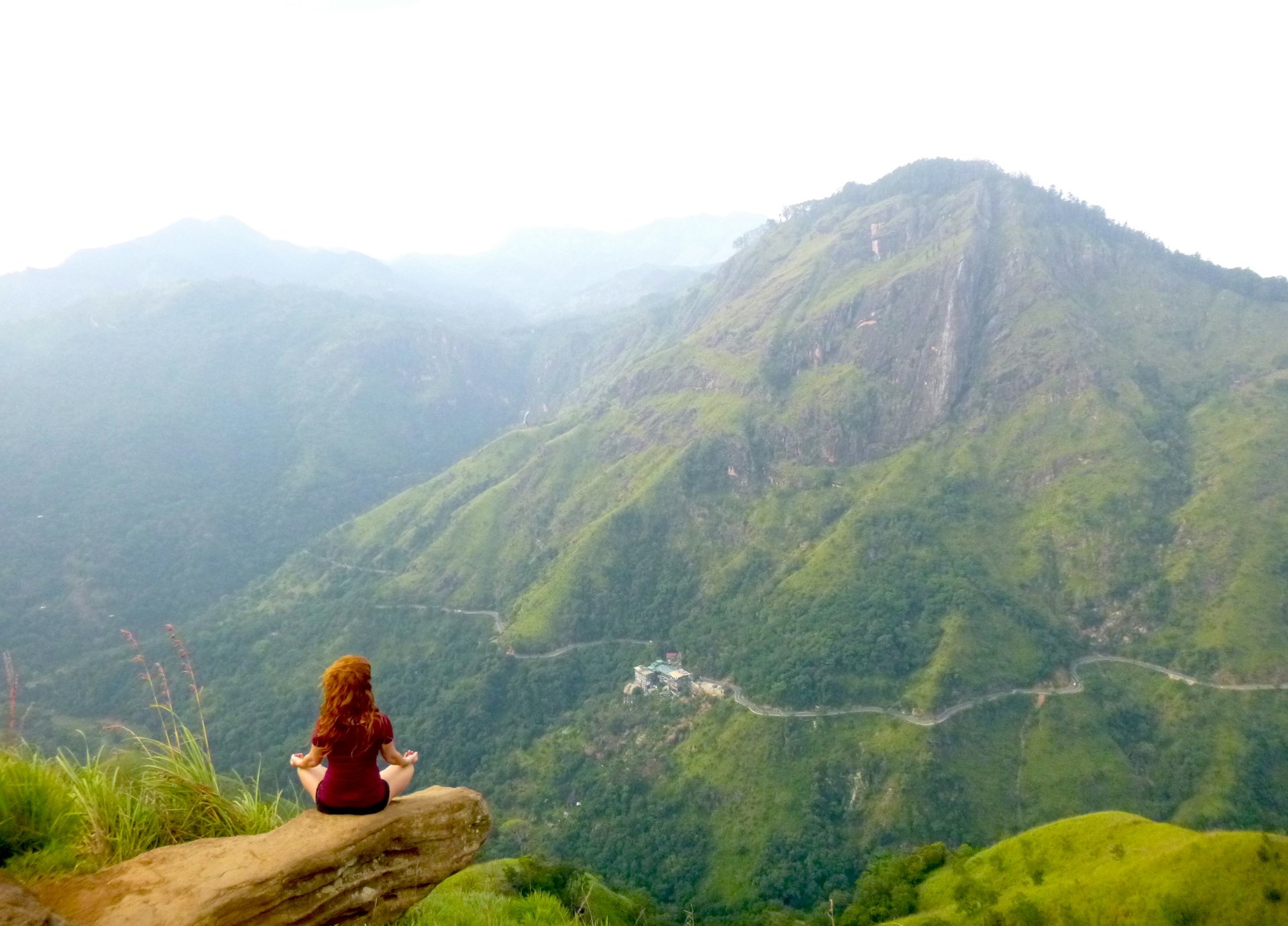
Discovering Ella Rock: A Spectacular Hiking Adventure in Sri Lanka.
Ella Rock is a popular hiking destination you won’t want to miss during your time in Ella City. This mountain can be spotted quite easily throughout Ella City, whether you’re heading towards Wellawaya or arriving from there. Nevertheless, embarking on a hike up Ella…

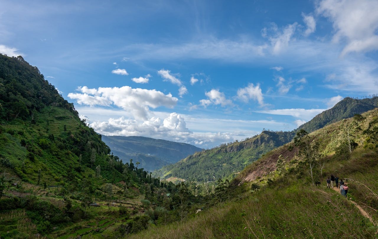
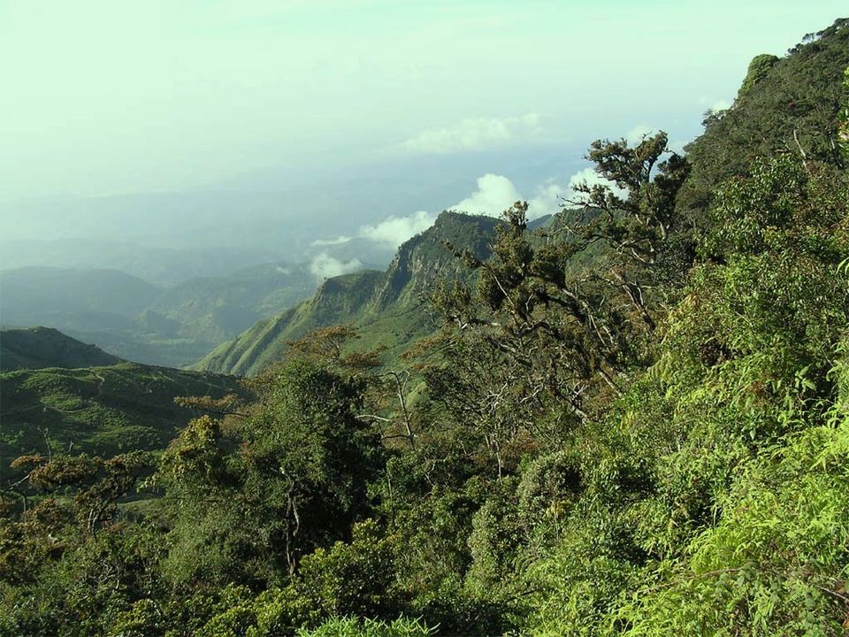
The Pekoe Trail in Sri Lanka
The Pekoe Trail is a newly established long-distance walking trail in Sri Lanka. It covers 300 kilometers (185 miles) of the central highlands of the country. It is also considered the first ever long-distance walking trail, which provides a unique experience for hikers, trekkers,…

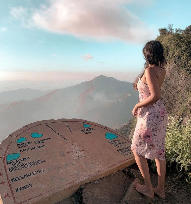
Ambuluwawa Tower in Sri Lanka
Ambuluwawa Tower is a popular tourist destination that offers a breathtaking view of the surrounding landscapes. This tower is located near the town of Gampola, in the central province of Sri Lanka. The tower is built on top of the Ambuluwawa mountain, which is…

Hike to Pidurangala Rock in Sigiriya
Pidurangala Rock is another famous tourist attraction in the Sigiriya area. It is a 360-degree viewpoint with a nice little hike to follow. The view of the Sigiriya Rock Fortress from Pidurangala Rock is simply breathtaking, and we believe you’ve seen it while searching…
Best Hiking Places in Kandy
Looking for the best hiking places in Kandy? If yes, you are in the correct place. This post will go over the top six hiking and trekking spots in and around Kandy. According to us Here are the best hiking places in Kandy and…
Madulsima Mini Worlds End
The Madulsima Mini Worlds End is a fabulous place to visit in the Badulla District. It is situated in the Madulsima area at an elevation of 1357m. The place has recently become popular among many local travelers. But it is an unknown place for…

Peacock Hills in Pussellawa
Peacock Hills is a nice place to go for a hike in central Sri Lanka. The mountain is situated in the Pussellawa area of the Nuwara Eliya District. It is a fantastic view point with a panoramic view. The height of the Peacock Hills…
Pettigala Mountain Hike in Kandy
Pettigala Mountain is a famous travel destination around Kandy City. It has been widely popular among local and international travelers recently. This single little mountain is situated in the Teldeniya area, about 20km away from Kandy. The beautiful view of the Victoria Reservoir and…
Trekking at the Beautiful Horton Plains
Did you know that this small island called Sri Lanka is full of great natural treasures? Even though it is a very small country, it is filled with numerous mountains, plains, waterfalls, rivers, and exciting nature adventures. With a tropical weather in most part…


