
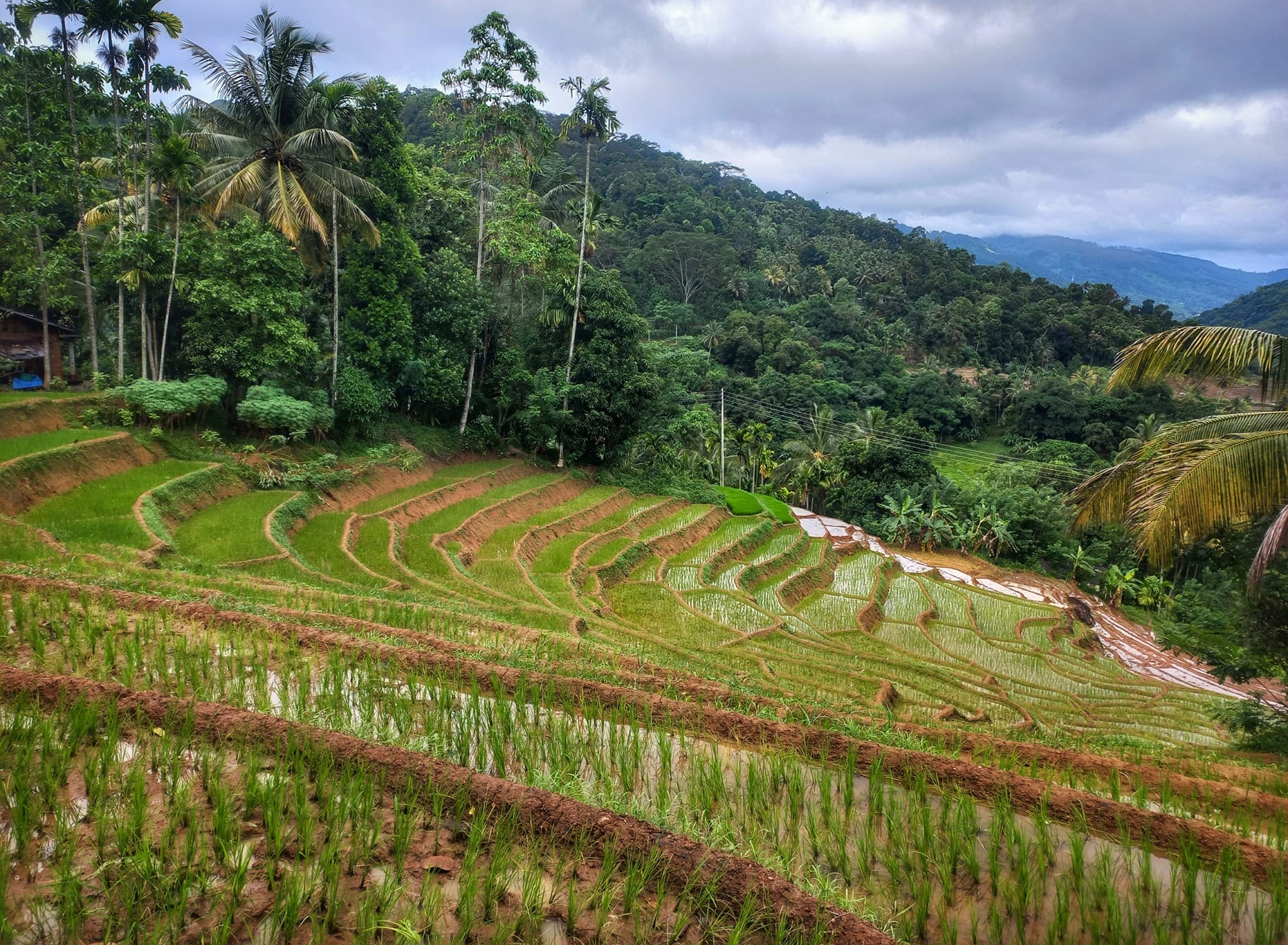
Heel Oya Tourism Village: A Slice of Authentic Sri Lankan Life
Nestled amidst the lush greenery of the Kandy district, Heel Oya Tourism Village offers a captivating glimpse into the traditional Sri Lankan way of life. This enchanting hamlet, untouched by the hustle and bustle of city life, invites travelers to immerse themselves in a…

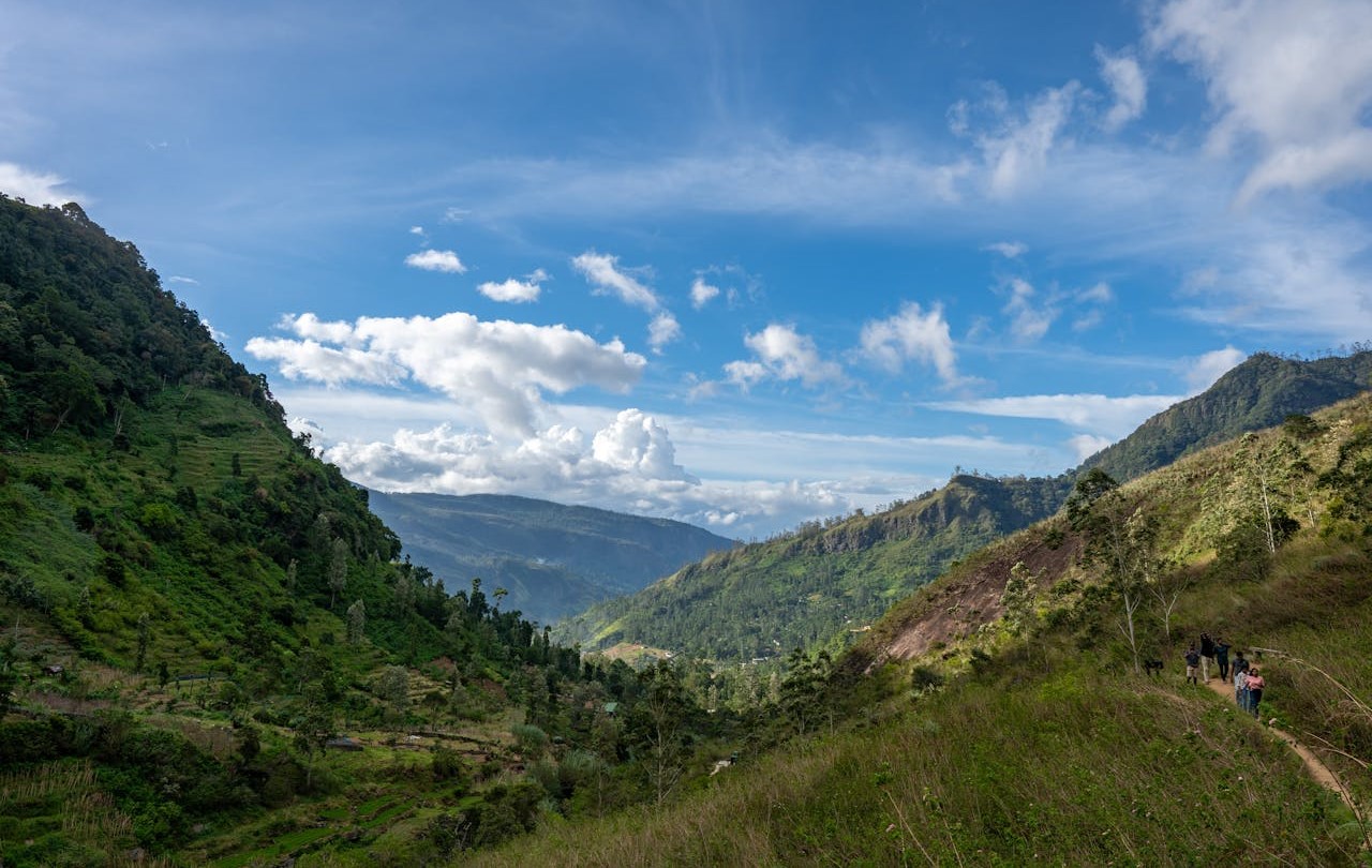
The Pekoe Trail in Sri Lanka
The Pekoe Trail is a newly established long-distance walking trail in Sri Lanka. It covers 300 kilometers (185 miles) of the central highlands of the country. It is also considered the first ever long-distance walking trail, which provides a unique experience for hikers, trekkers,…

Little Adams Peak in Ella
Little Adams Peak is a must-visit destination in Ella, Sri Lanka. The place is very popular among both locals and foreigners, as well as hikers. A fantastic spot for a hike that you shouldn’t miss during your visit to Ella Little Adams Peak location…

Ambuluwawa Tower in Sri Lanka
Ambuluwawa Tower is a popular tourist destination that offers a breathtaking view of the surrounding landscapes. This tower is located near the town of Gampola, in the central province of Sri Lanka. The tower is built on top of the Ambuluwawa mountain, which is…

Hike to Pidurangala Rock in Sigiriya
Pidurangala Rock is another famous tourist attraction in the Sigiriya area. It is a 360-degree viewpoint with a nice little hike to follow. The view of the Sigiriya Rock Fortress from Pidurangala Rock is simply breathtaking, and we believe you’ve seen it while searching…
Best Hiking Places in Kandy
Looking for the best hiking places in Kandy? If yes, you are in the correct place. This post will go over the top six hiking and trekking spots in and around Kandy. According to us Here are the best hiking places in Kandy and…
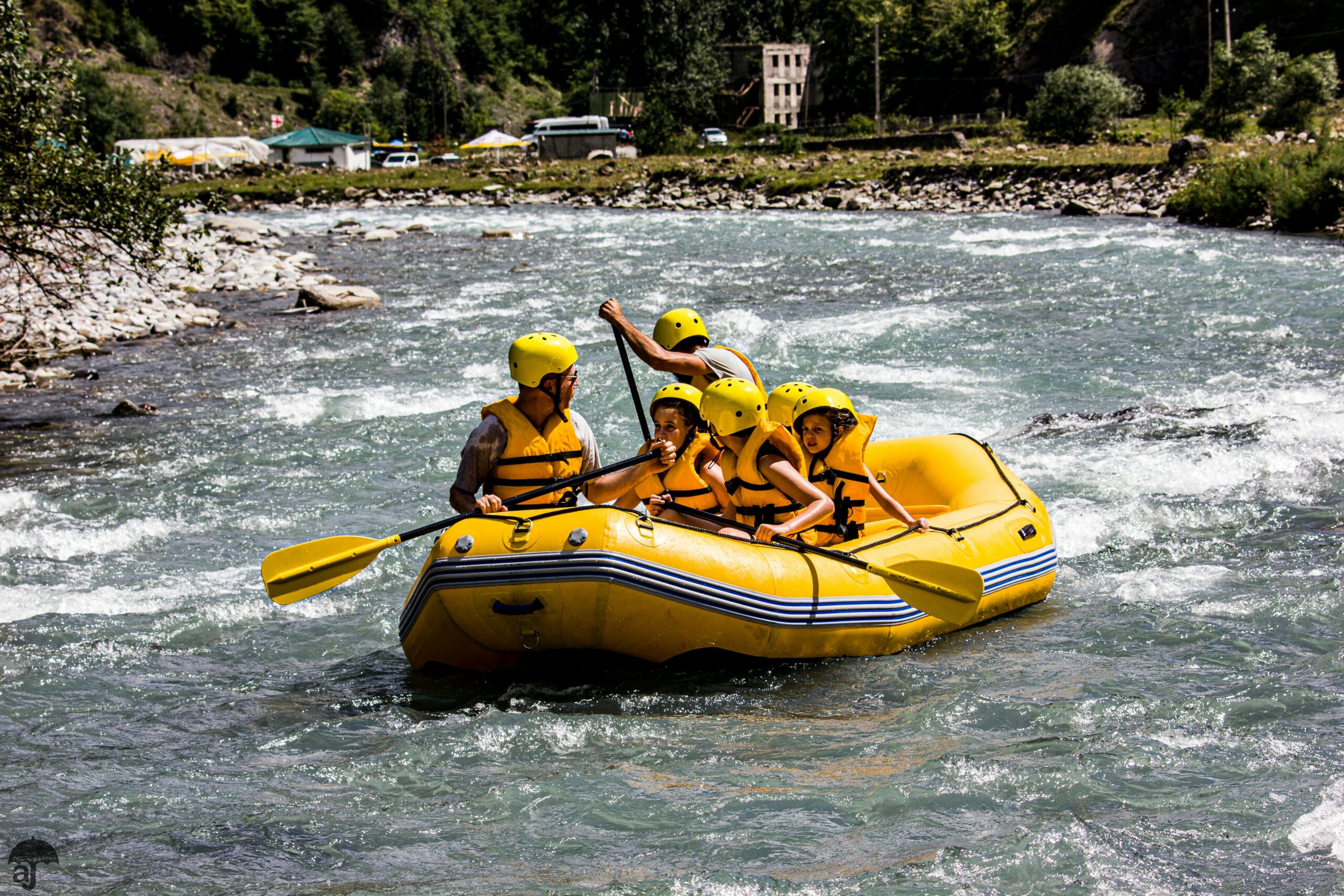
White Water Rafting and Outdoor Adventure Tour at Ulapane
White Water Rafting in Sri Lanka White Water Rating is an adventure activity with lots of excitement and joy. It is a water activity that is an interesting thing to do in Sri Lanka. Being an island in the Indian Ocean, Sri Lanka is…
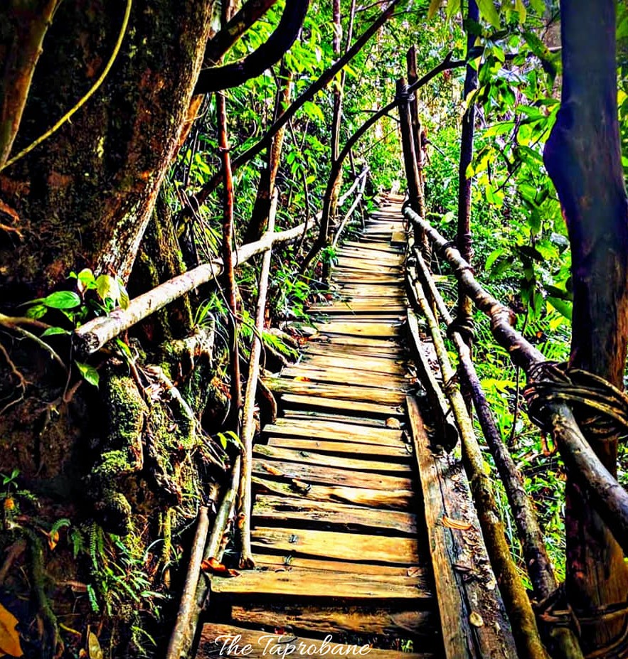
Kanneliya Forest in the Galle District
Kanneliya Forest Reserve is a nice place to visit in Galle District. It is a part of the Kanneliya-Dediyagala-Nakiyadeniya (KDN) Biosphere Reserve. This covers almost 5306 ha in the southern province. The Kanneliya forest reserve is also regarded as one of South Asia’s most…
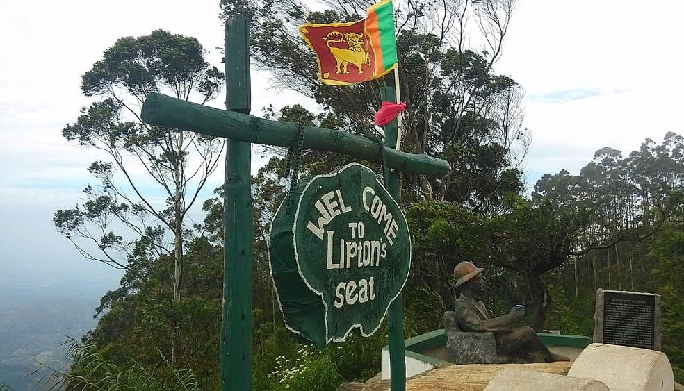
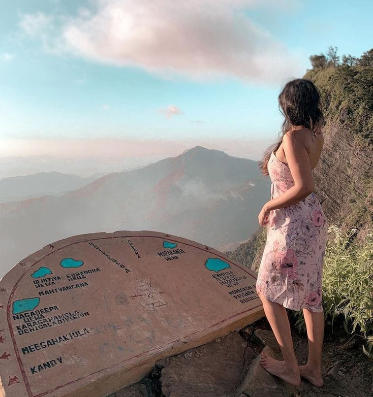
Lipton’s Seat in Haputale
Lipton’s Seat is a popular high observation point in Sri Lanka among local and foreign travelers. It is situated at the top of the Poonagala Hills at an elevation of 1970m. This is also a viewpoint from which you can observe five major provinces…
Madulsima Mini Worlds End
The Madulsima Mini Worlds End is a fabulous place to visit in the Badulla District. It is situated in the Madulsima area at an elevation of 1357m. The place has recently become popular among many local travelers. But it is an unknown place for…


